
 Platform
Surface damage: potholes and cracks
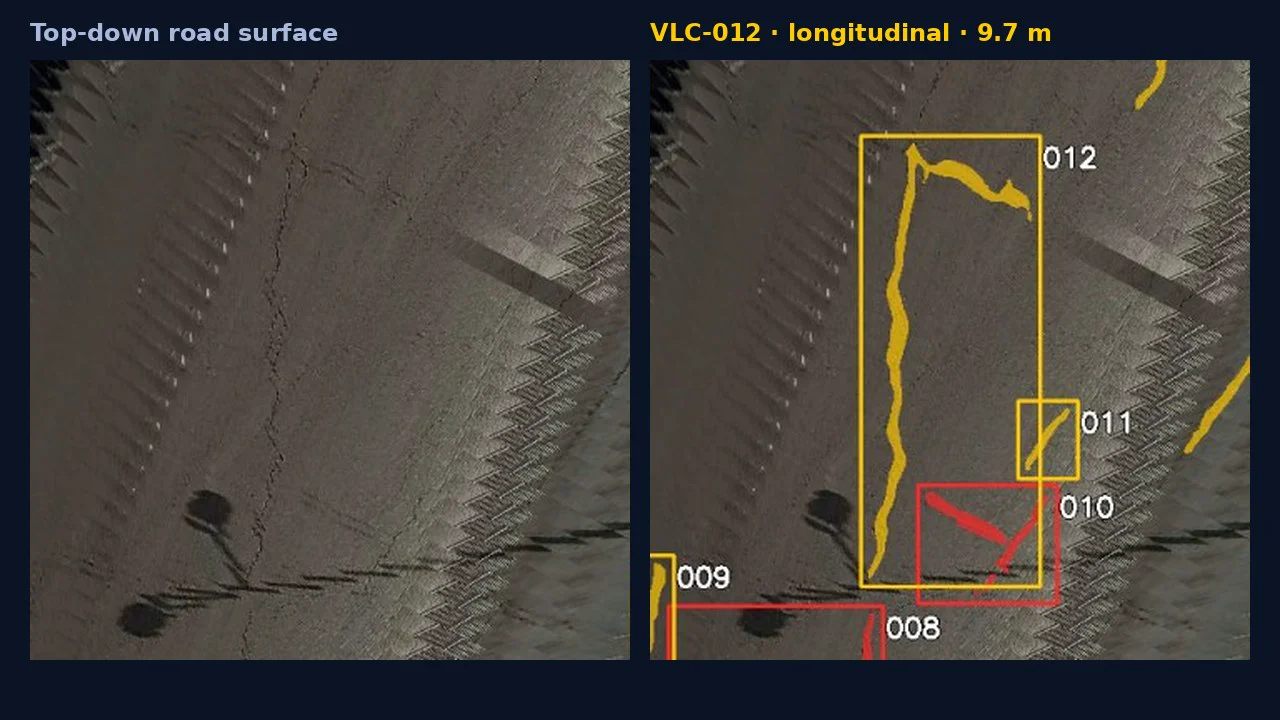
Potholes and cracks found in footage from vehicles already on the road. Each one becomes a case with an ID, a type, a length or area and a position, checked by a reviewer.
What you receive
- Cracks by type: longitudinal, transverse, diagonal and network cracking
- Potholes and damaged areas with their size
- A case for every finding, with evidence image, position and suggested action
- A condition rating per street or road section
- A work list and findings file (CSV or GeoJSON) for your GIS
Examples
Plaça de Saragossa, València
37 cracks registered, 224 m in total. A reviewer checked all 37: every one is a real crack.
A-4 Autovía del Sur
12 defects measured on a single patrol pass, each with type, area, lane and chainage.
Every finding is checked by a reviewer. Faces and number plates are anonymised at capture.