Operator value
Why railway teams care.
Reviewers can search, filter, and prioritize findings by the rail references used in day-to-day infrastructure work.
Solutions
All Solutions Overview RailEyes RailEdge Camera RailEyes TrackViewReal-Time Railway StreamRailEyes ZoningRailEyes Vegetation DetectionRailEyes Map/Track/Lane MatchingRailEyes AnonymizationRailEyes DynamicsRailEyes MapmatchingRailEyes HeatmapsConsultingSoftware and Data Solution
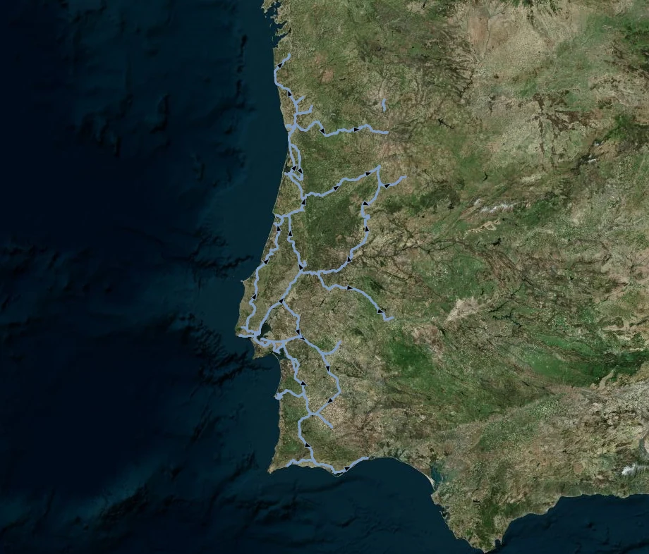
Hectometer-oriented matching of railway observations using GPS, motion context, and rail network structure for more actionable inspection records.
Documented basis
The project dashboards included filtering by track name, segment name, station, and kilometer ranges.
Operator value
Reviewers can search, filter, and prioritize findings by the rail references used in day-to-day infrastructure work.
Investor value
A reusable mapmatching layer increases the value of every captured image, event, and validation decision across the product suite.
Workflow
Outputs