 Platform
Operational challenge
What makes this environment difficult.
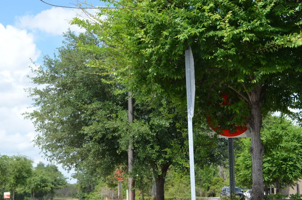
Urban roads accumulate potholes, cracks, and vegetation overgrowth that obstruct signage and create liability — but manual inspection cycles are slow and inconsistent.

Solutions
All Solutions Overview RailEyes RailEdge Camera RailEyes TrackViewReal-Time Railway StreamRailEyes ZoningRailEyes Vegetation DetectionRailEyes Map/Track/Lane MatchingRailEyes AnonymizationRailEyes DynamicsRailEyes MapmatchingRailEyes HeatmapsConsultingDeployment Area
Ground-level road infrastructure inspection for vegetation overgrowth, surface damage, and roadside hazard detection using scheduled vehicle movement as the capture opportunity.
Operational challenge
Urban roads accumulate potholes, cracks, and vegetation overgrowth that obstruct signage and create liability — but manual inspection cycles are slow and inconsistent.
RailEyes fit
RailEyes applies the same retrofit capture, AI-assisted detection, and map-based review pipeline to ground-level road infrastructure, helping teams identify stop-sign vegetation blockage, surface degradation, and roadside conditions without dedicated inspection vehicles.
Investor angle
Road infrastructure expands the total addressable market beyond rail, demonstrating that the capture-to-review platform is transferable across ground-transport domains.
Urban Roads insight
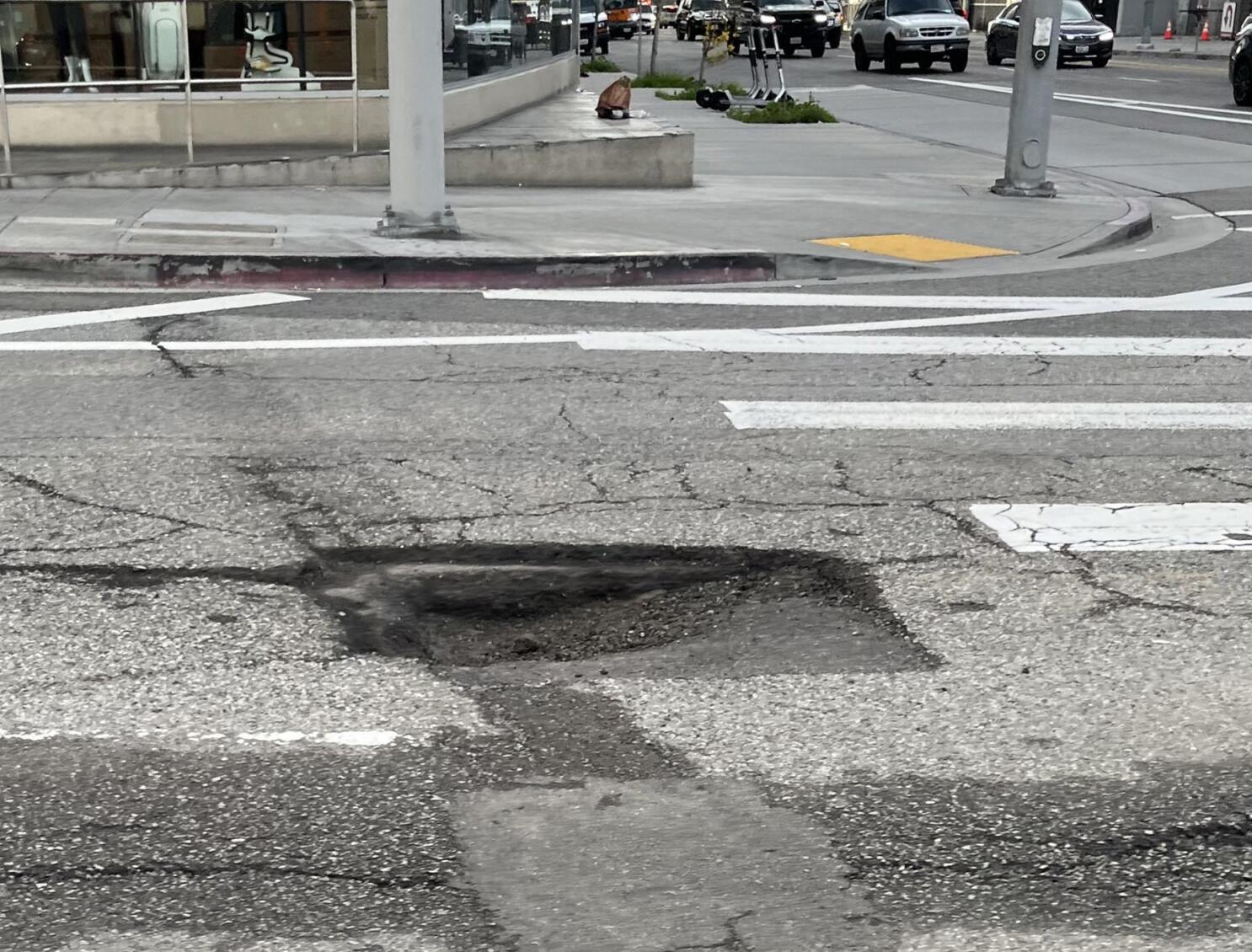
Road surface damage is a constant maintenance challenge. Regular capture from scheduled vehicles can build a repeatable condition baseline.
Typical workflows